| [See previous Run #1] Run #2 is the climb to the Peak on Hong Kong island. (Run #1 is on the Kowloon side.) Unlike run #1, this one is very demanding. Steep. Short. Sweet. Best done in the cool hours of early morning. However, to compensate there are wonderful views of course at the top, and it's quiet, car-free and tree-lined after the initial section. And you have the satisfaction of not taking the Peak Tramway that carries 4 million tourists each year. | 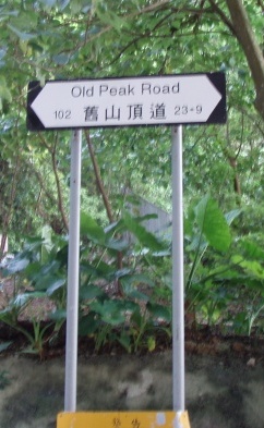 |
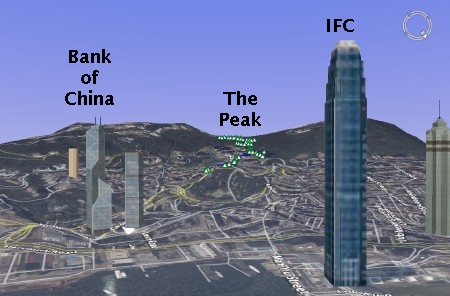
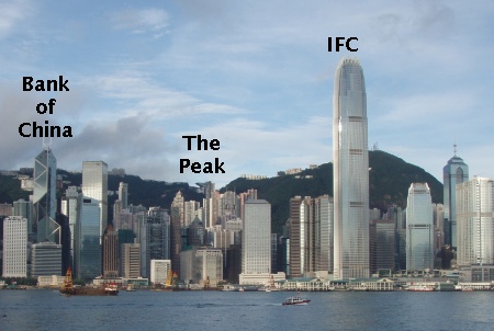
It's amusingly sparse. Compare the above with a photo I took:
 Details?
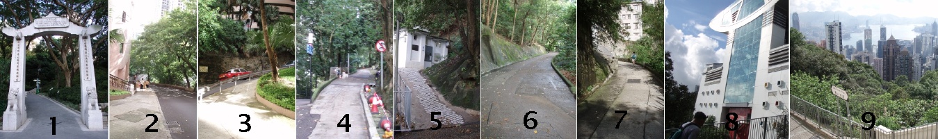
- I begin at the Botannical Gardens in front of the memorial to the Chinese who died in the two world wars. Jog through the gardens, to the Panther enclosure, and out the back. Cross the road at the light onto Old Peak Rd.
- Road is very steep and lined with high-rise condos.
- Switchbacks are over 20% grade.
- The road becomes a one lane road here. Cars and motorcycles are prohibited.
This is where the nice part begins but are you still running? - Toilets if you need them.
- The grade even lets up in places to maybe 5%.
- Near the top now. Did you last?
- The top of the tramway is in view. Up the stairs.
- Turning around, the view back down.
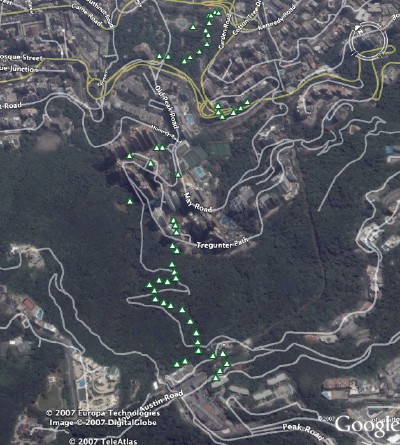 As you can see, the Magellan struggles here to maintain 3-D coverage. Multipath off the tall buildings? Tree cover?

No comments:
Post a Comment